Bal Hanön
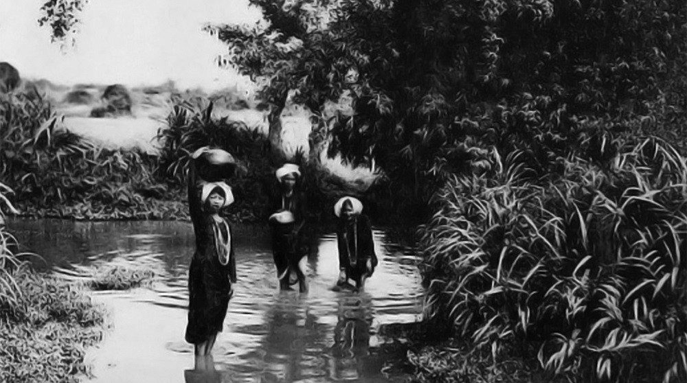
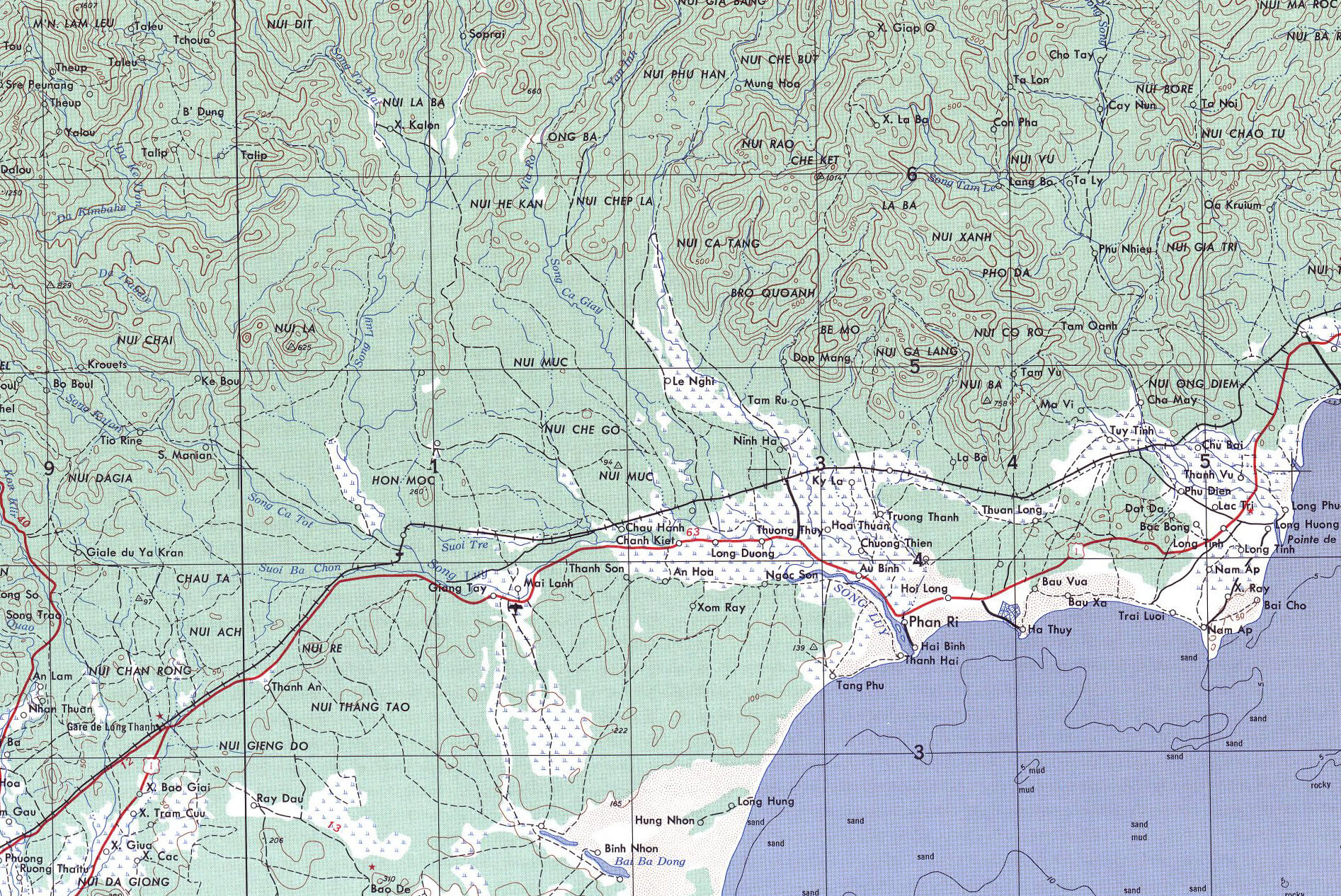
Reportedly built by King Po Kathit of the Kramuka lineage (the Areca clan), the ancient citadel of Bal Hanön was the last capital-citadel of the Cham and one of the first capitals of Panduranga, the southernmost Cham kingdom that today occupies the center of Binh Thuan province in southern Vietnam. In the 11th century, the historical chronicles and legends of the Cham designated Panduranga as the origin of Champa, an ancient capital of kings whose dynasties took on the emblematic name of the Areca with Bal Hanön as its capital-citadel. Depending on the period, the sites of the Paduranga capitals vary and remain sources of controversy. In 1835, the last one was located at the Bal Canar de Parik, the current port of Phan Ri, 25 kilometers northeast of Bal Hanön.
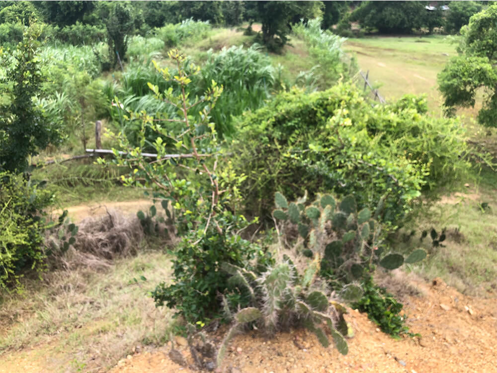
Bal Hanön is perched on a curve of the Song Luy River, in the centre of a semi-arid coastal peneplain that was once covered with cactus thickets and light forests where elephants, tigers and rhinos roamed. It is dominated to the west, southwest and north by the steep seafront of the Annamitic Cordillera mountain range, an array of misty peaks that were once the land of Raglan and Churu allies. To the east, it is bordered by the majestic Ihul Pron, the basin of the great White Sand Dunes that overlook the coast and the ancient port of Phan Ri.
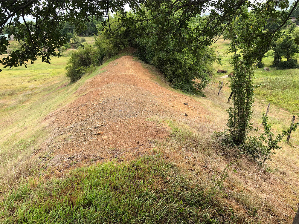
Unfortified in the early days, Bal Hanön eventually acquired a wall 1,000 meters wide and about 1,500 meters long. The wall is made up of powerful embankments lined with limonite, reinforced in places by piles of rocks rolled from the nearby river where were plentiful. It is studded with solid wooden doors and reinforced with belfries. After the fall of the Paduranga, the city was destroyed and became known as the Song Luy fortress
