The Phu Sang - An enigmatic mountain range in Laos
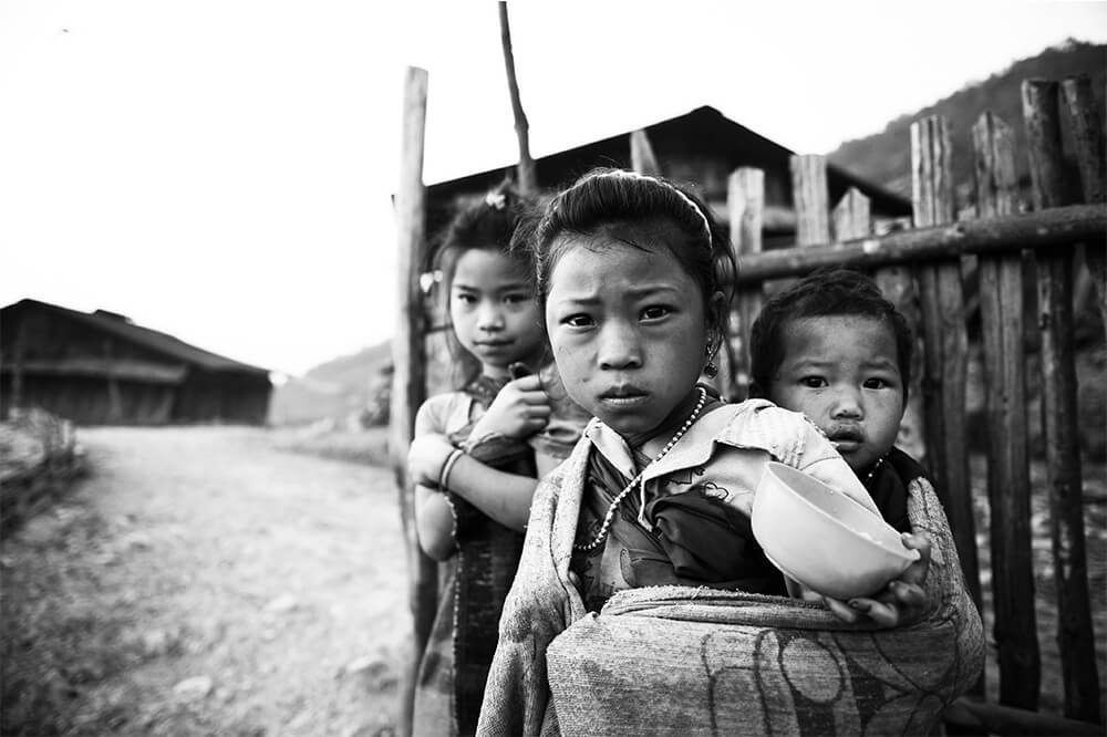
Located in the northern Laotian province of Phongsaly, the Phu Sang is home to mysterious Tibetan-Burmese subgroups belonging to the Akha (Iko) group, literally the intermediate or in-between people. The Tibetan-Burmese of Laos is of rare ethnic complexity since they are divided into 33 groups, including the Akha, Sila, Sida, Poussang, Keu, Alou, Black Lolo, Hayi, Ho, Pounoy and Mousseur. The Akha themselves are divided into 22 subgroups, with a population of 30,000 in Phongsaly province.
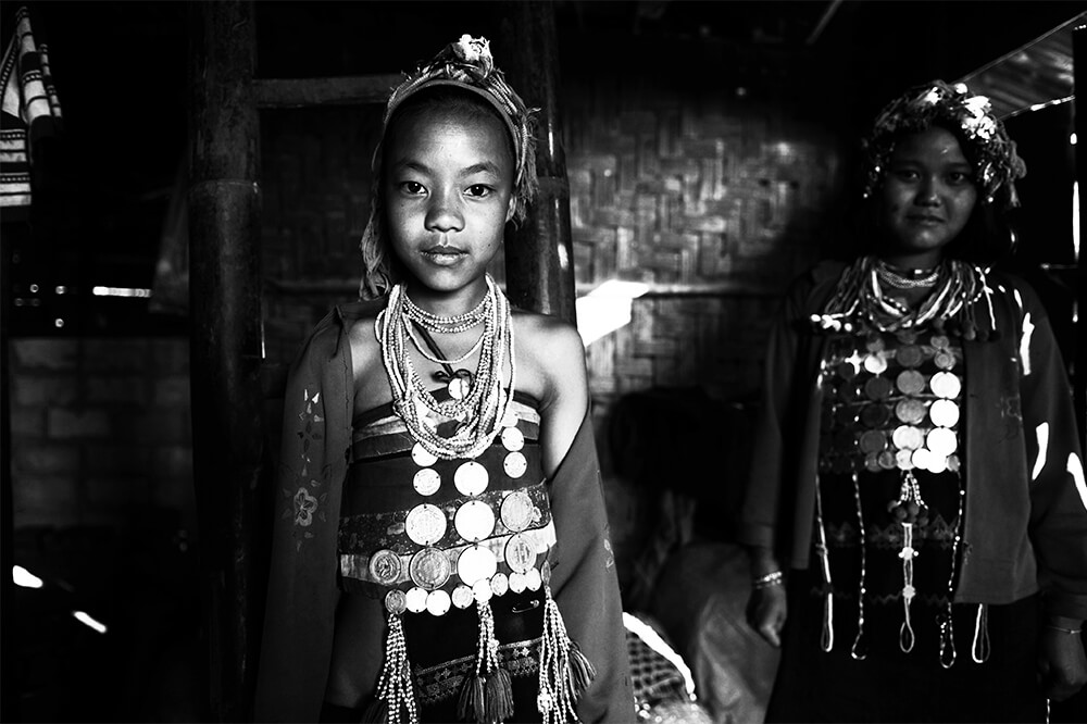
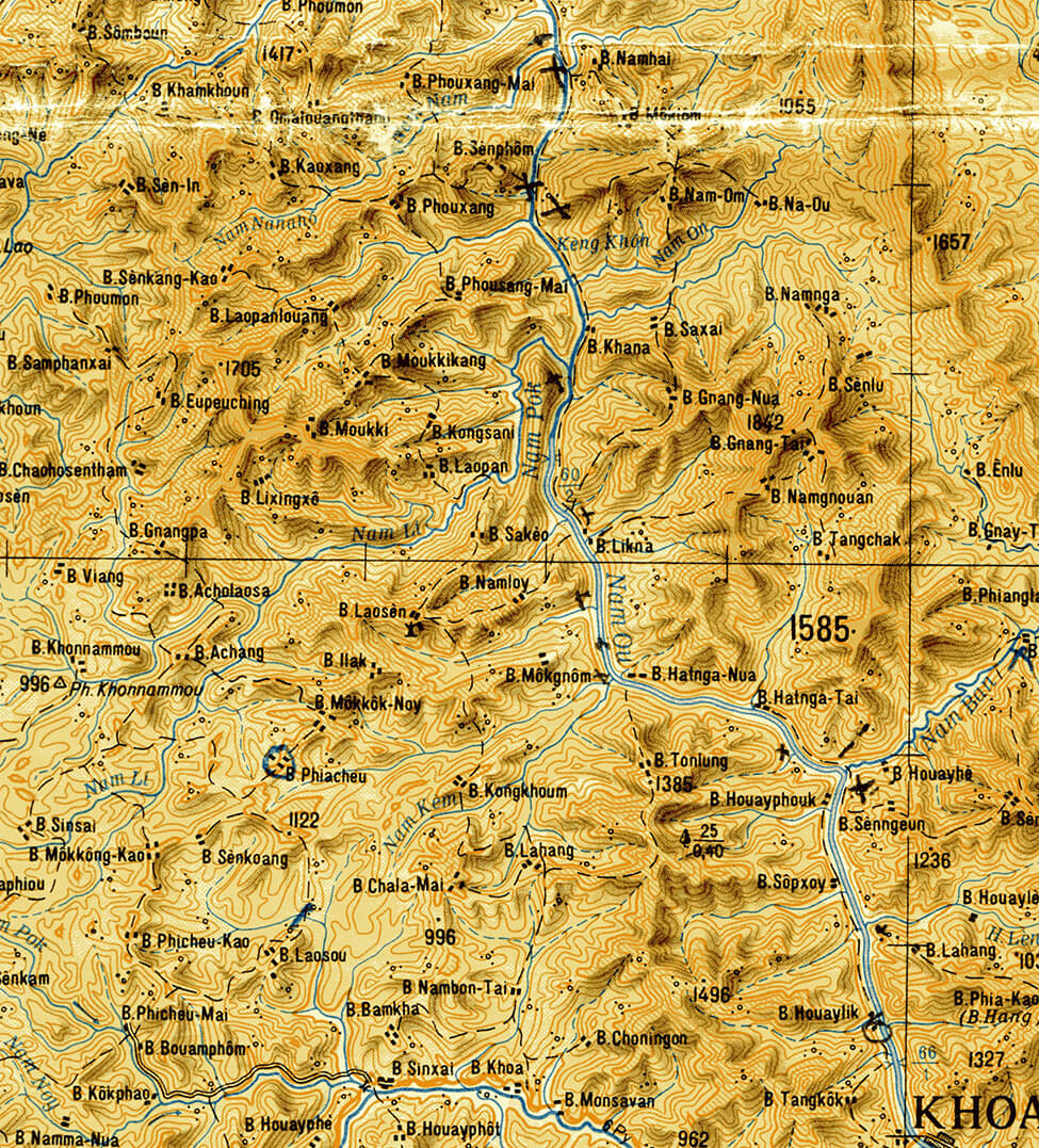
The Phu Sang, or Elephant Range, extends a distance of 100 kilometers long and 40 kilometers wide on a north-south axis parallel to the Nam Ou River. Rising to an altitude of 1,300 meters, it is distinguished by its unique human richness; within a relatively small area, there are about 15 minority groups and subgroups belonging to the four main ethnolinguistic families of Laos: Tibeto-Burmese, Austro-Asian, Thai-Kadai and Hmong-Dao. The Black Thais and Laos live in the valleys, the banks of the Nam Ou or its tributaries, while the Khmu, Akha and Akha Hmong Akha settle on the ridges and peaks on the eastern edge of the massif. The Akha are in the majority and divided into seven subgroups: the Loma, Opa, Pala, Nu Quay, Muchi, P’u Sang and Puli.
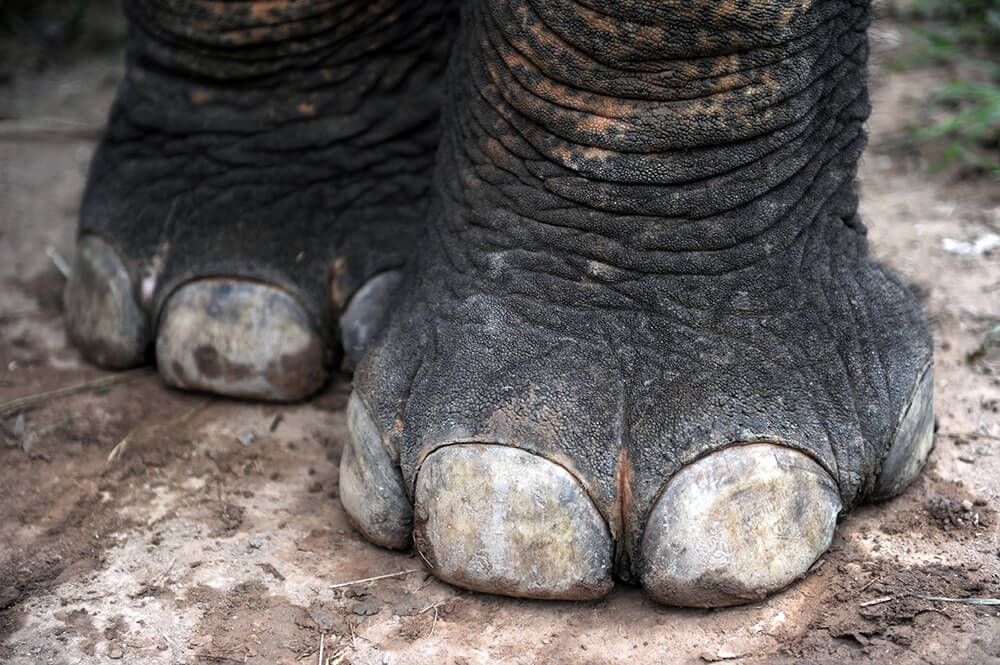
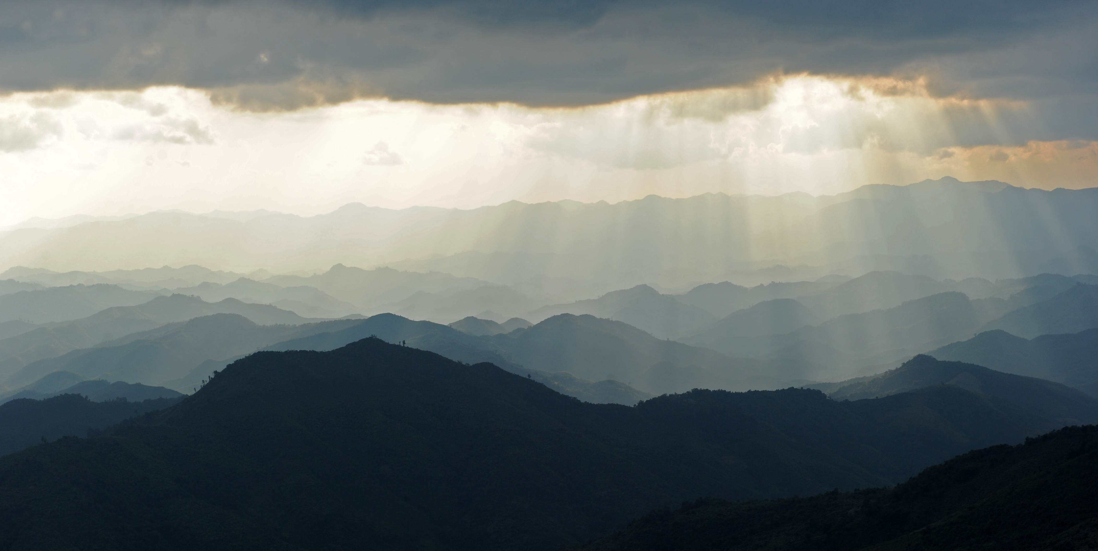
In addition to its unique population, the Phu Sang stands out for its landscapes and natural environments. To the north, long lines of parallel ridges plunge towards the South with steep valleys. A primary forest lies to the west, with mountains and wooded valleys where elephants can be found. To the east, a set of steep peaks overlook the mythical Nam Ou River and, less than 100 kilometers away, Vietnam and the Dien Bien Phu valley. This location has given the Phu Sang natural barriers that have protected its inhabitants over the past decades.
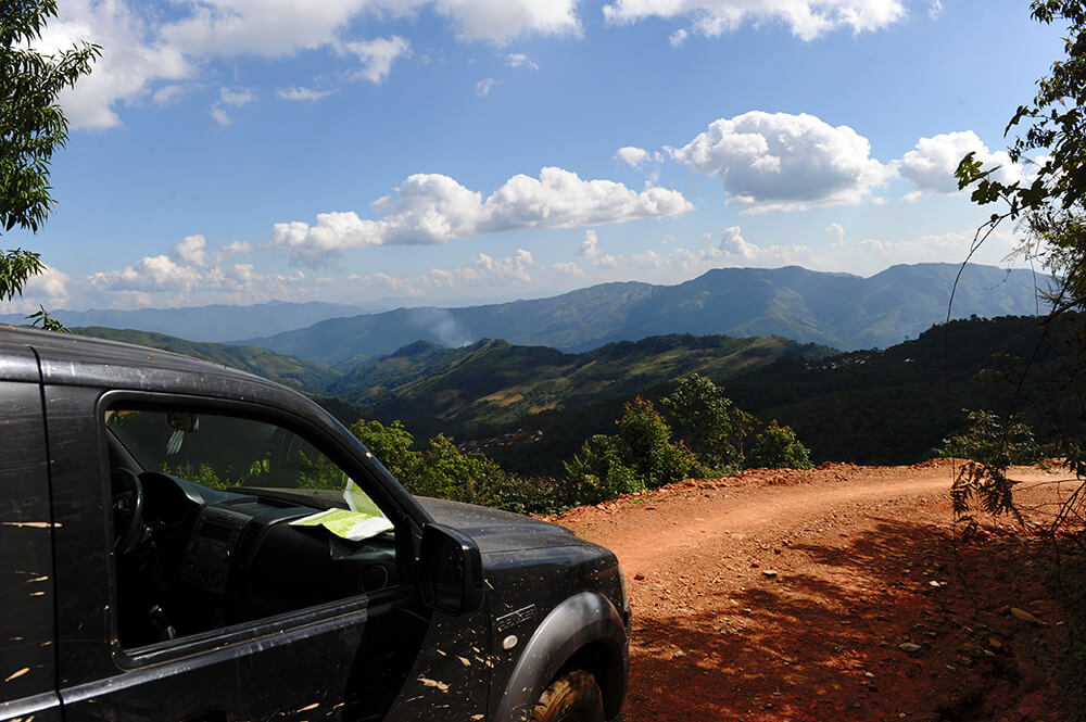
In 1937, the Taupin guide to French Indochina described the Phu Sang as follows: The territory extends over the upper and middle Nam Ou basin, an important tributary of the Mekong with it conflicted upstream and around Luang Prabang. It is only an inextricable entanglement of steeply sloping mountains, more than three-quarters of them bare, separated by ravines and valleys, real ditches where multiple arroyos wind their way through ragged forests. These are that projections, confused elevations of hills, peaks, cones, nipples, pyramids, which extend as far as the eye can see, overlap, stretch and undulate one behind the other...
In ancient times, the Phu Sang relied on the legendary Khmu kingdom, the Austro-Asian group endemic to Laos, for survival. It was enclosed by the three Thai principalities: to the north and west by Siphong Panna (South Yunnan); to the east by Siphong Chaû Taï, literally the country of the 12 provinces with its capital at Dien Bien Phu; and to the south by the kingdom of Luang Prabang. The Siphong Chaû Taï eventually annexed the Phu Sang area, and they successfully defended the region against the Dai Viet and the kingdom of Luang Prabang until the end of the Indochina war. This remarkable feat was mainly due to the skill of its leaders, the Deo family, and their alliances with the French colonial administration. Phu Sang was briefly controlled by the kingdom of Luang Prabang before becoming the southern part of the French 5th Military Territory.
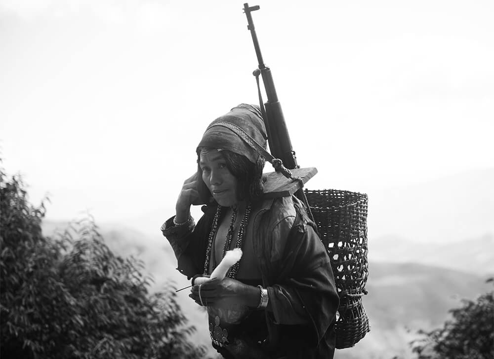
In the 1930s, with an ephemeral peace reigning in the Phu Sang, the French cut pathways along the ridgelines to connect the communities and facilitate the settlement of the area by a Reinette, a maqui of the Groupement de Commandos Mixtes Aéroportés (GCMA), a special unit created by the French in Indochina. On December 18, 1957, Phongsaly officially became a province of the Royal Government of Laos. During the Secret War in Laos, the southern part of the massif was bombed by B-52s. Since 1975, some villages have been regrouped into communities along the pathways, while others, notably the Opa, remain relatively isolated.
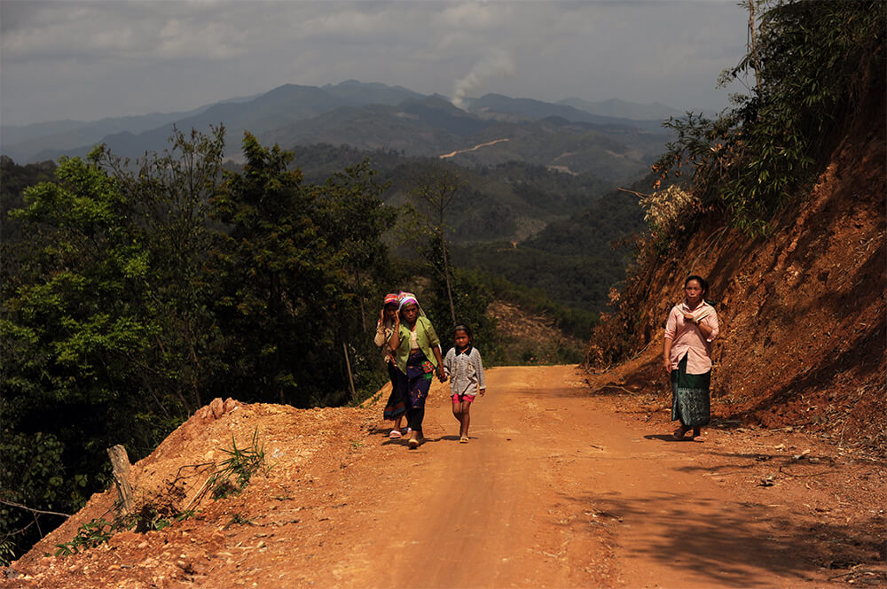
Secret Indochina organized several survey missions to this enigmatic area in the 1990s and 2012 and has offered trekking and immersive programs since 2013.
-1578387074.jpg)
